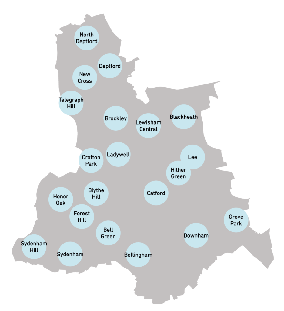
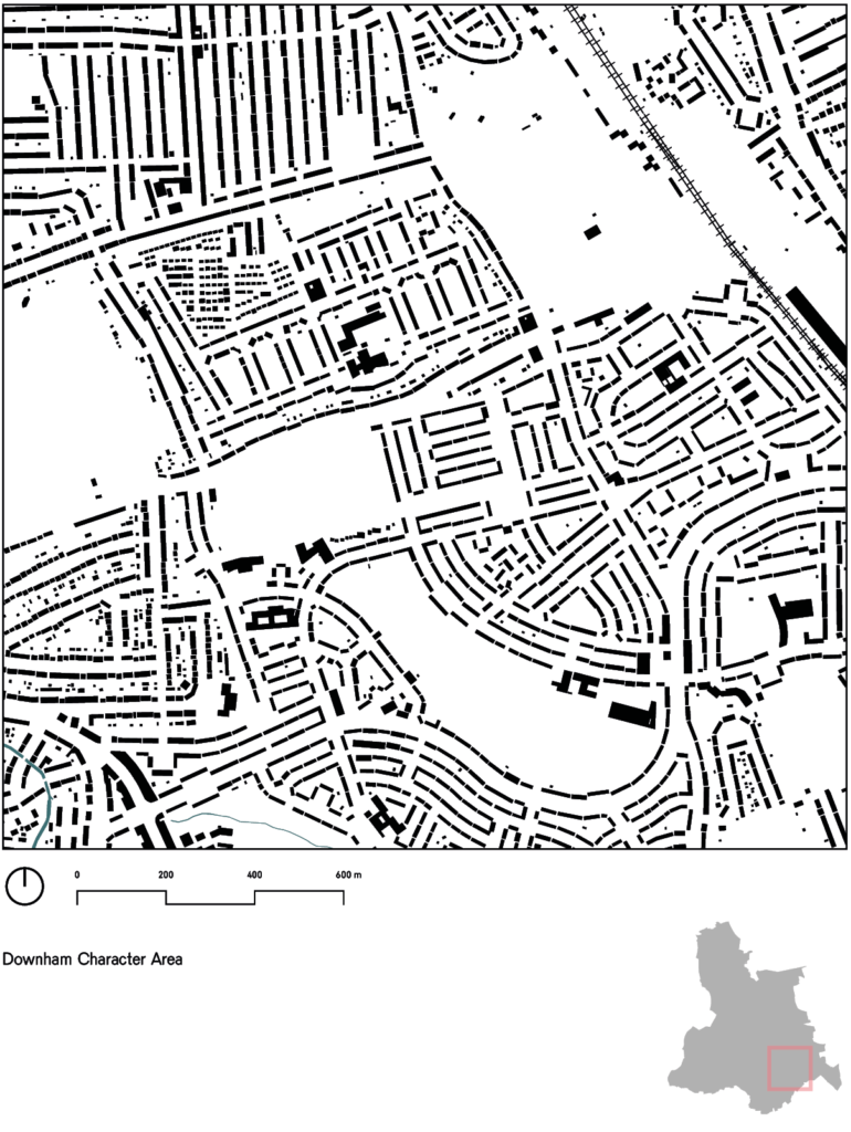
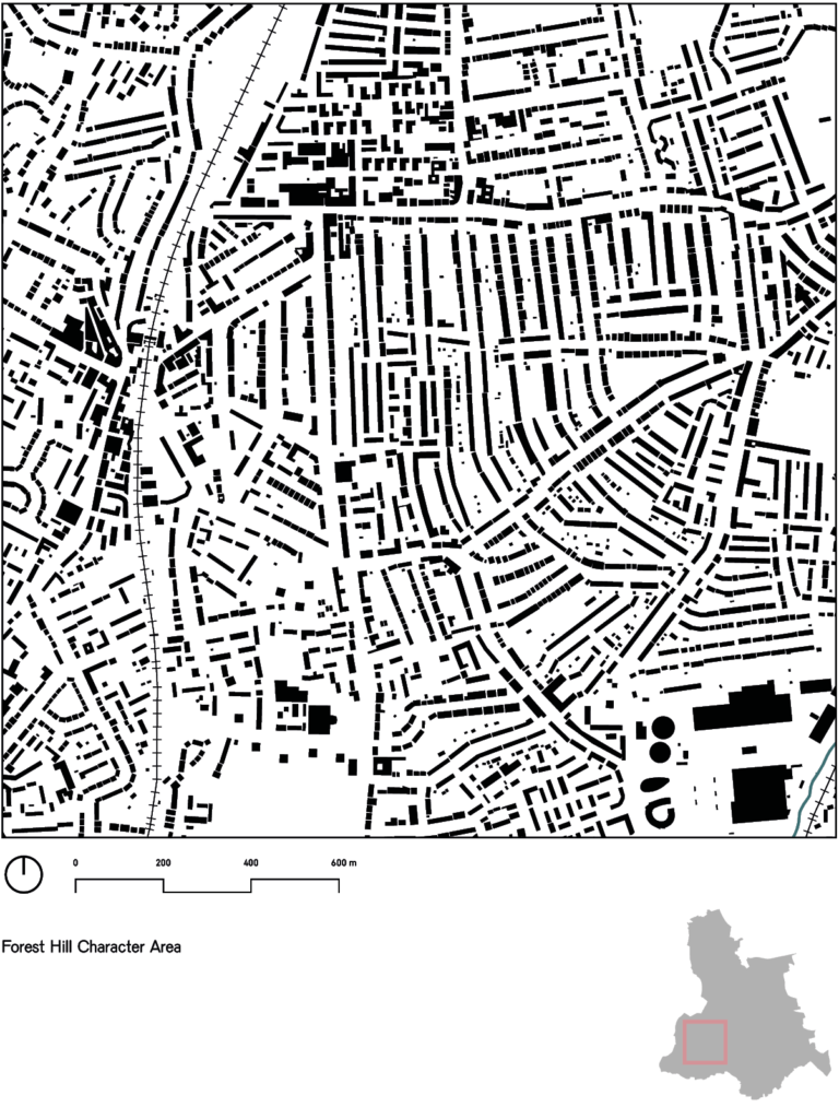
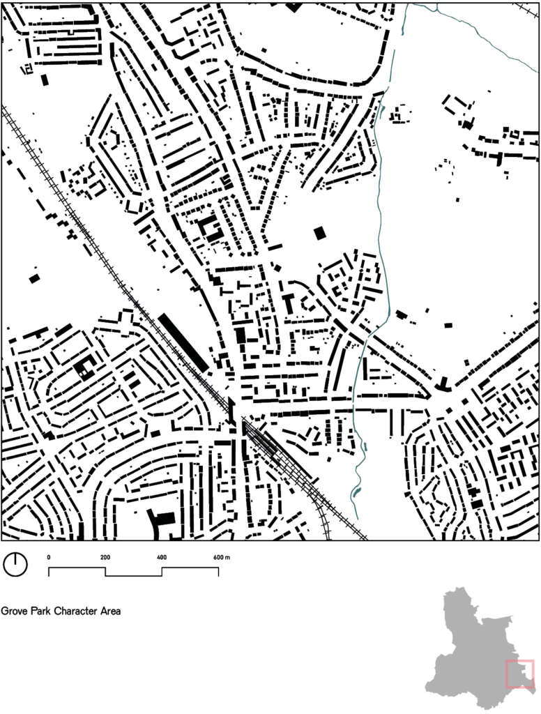
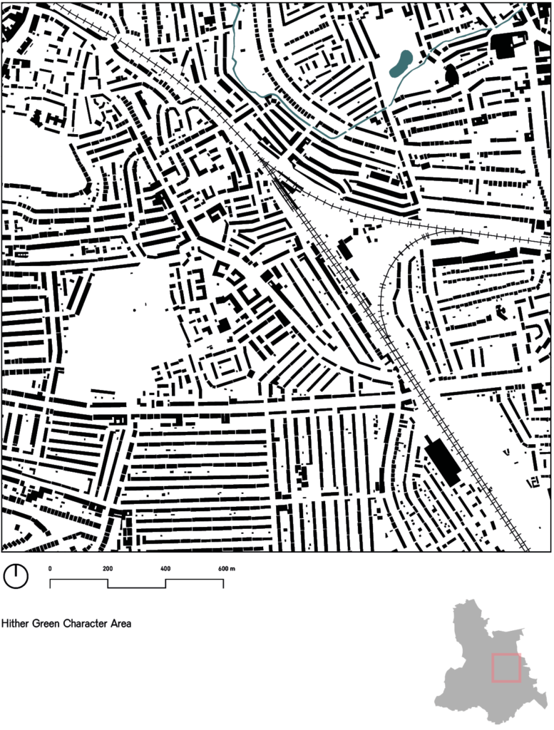
6. Characterisation Area Maps
Characterisation study
Although wards provide a convenient subdivision of Lewisham into administrative areas, they are not typically how the borough is understood and experienced by residents and visitors.
The March 2019 Lewisham Characterisation Study provides a number Character Areas that were developed in conjunction with local residents and stakeholders and are more representative of the varying character of built form, as well as how local people define the areas of the borough. Unlike ward boundaries, however, not every area of the borough is covered by the characterisation study.
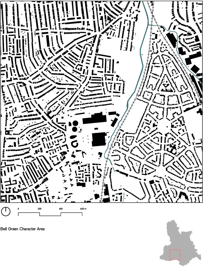
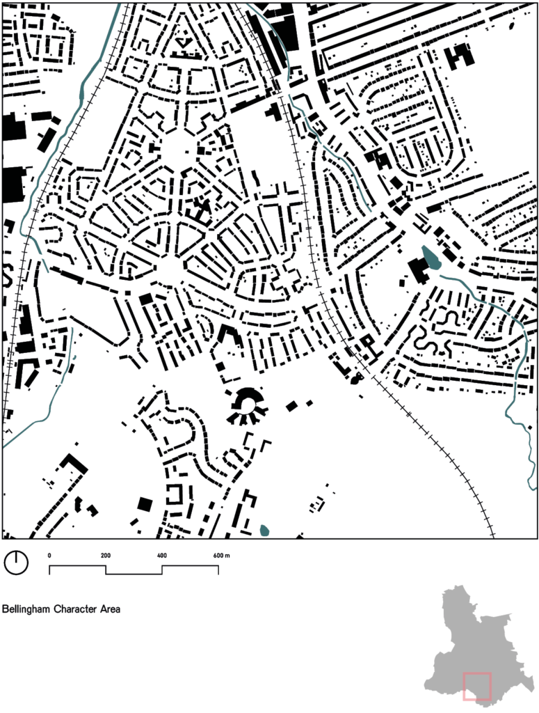
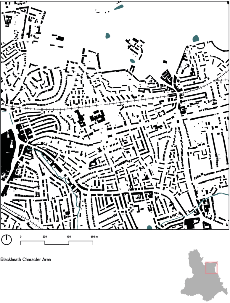
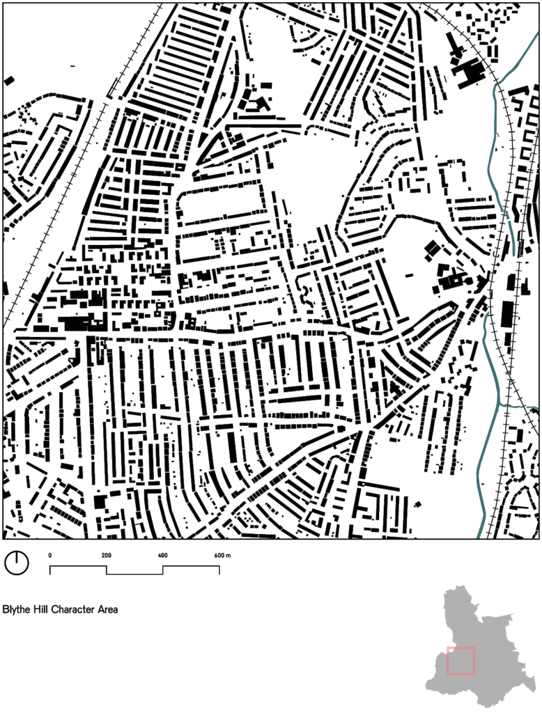
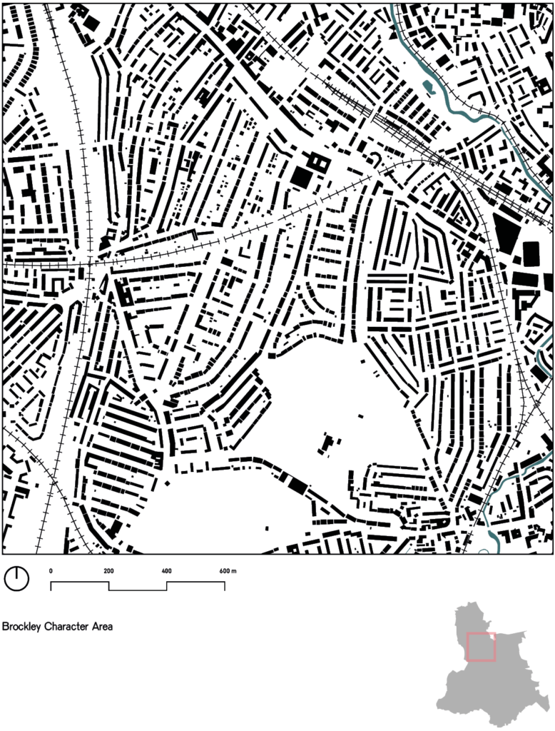
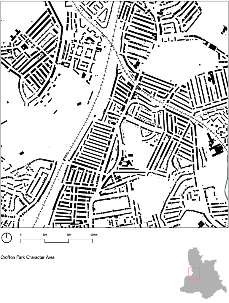
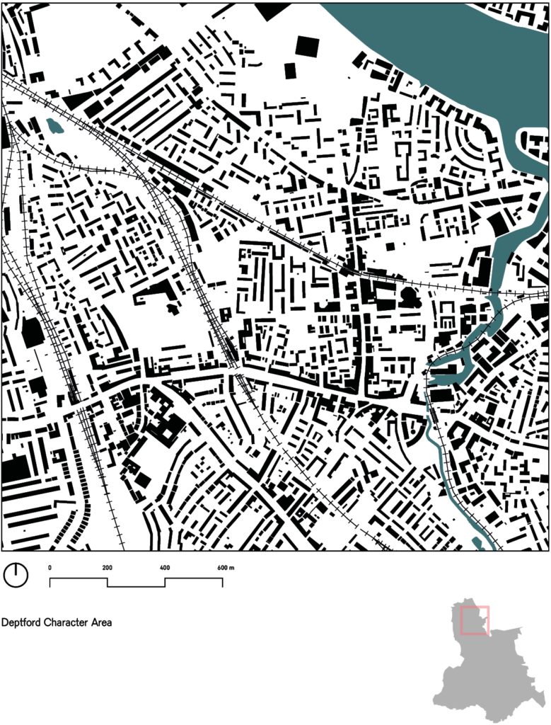
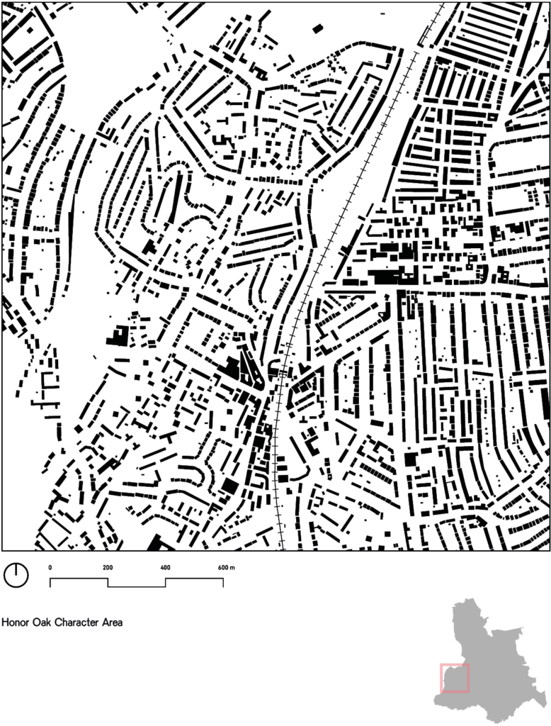
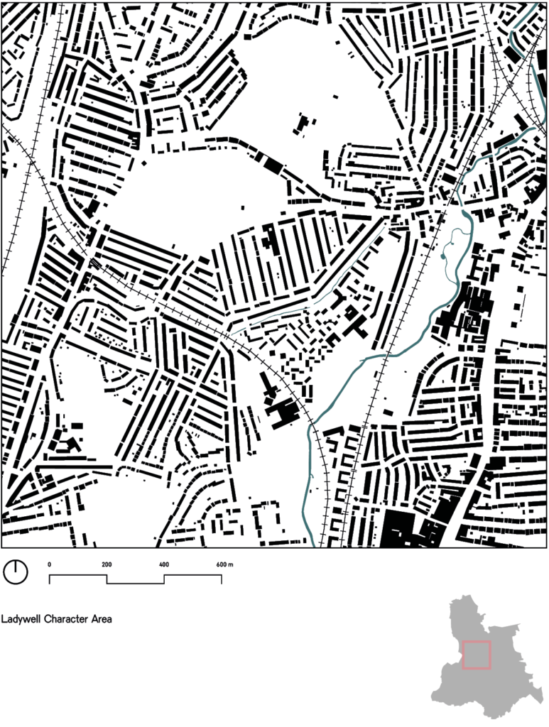
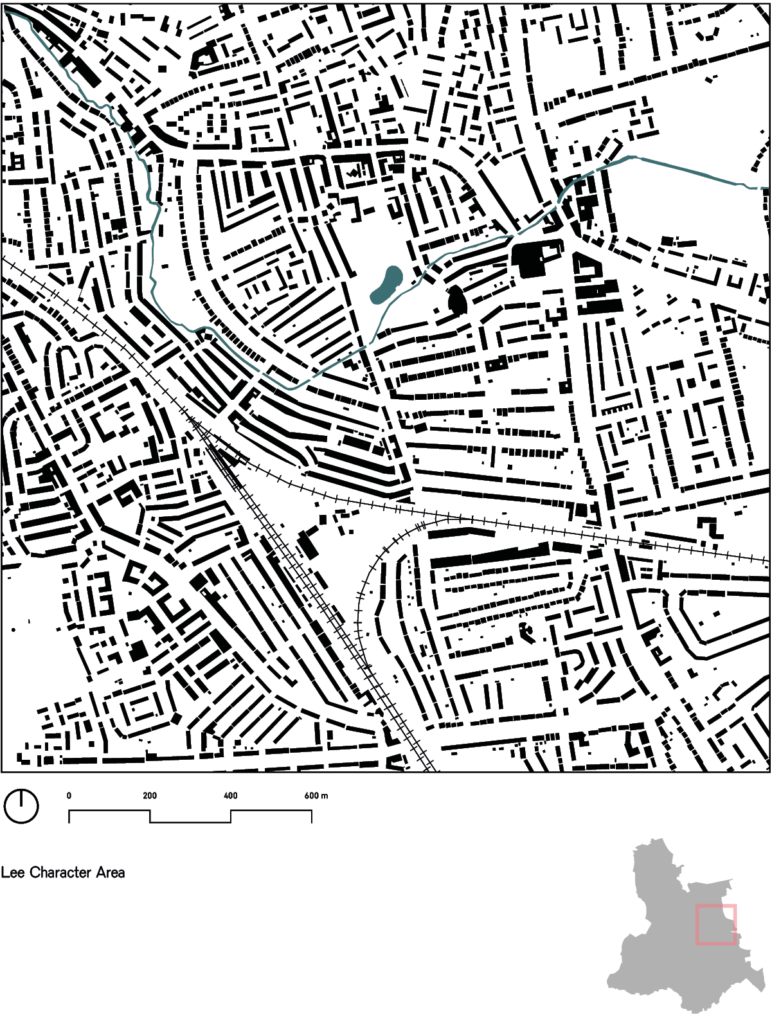
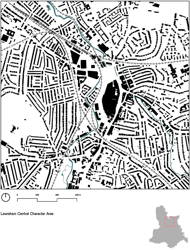
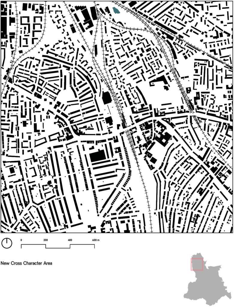
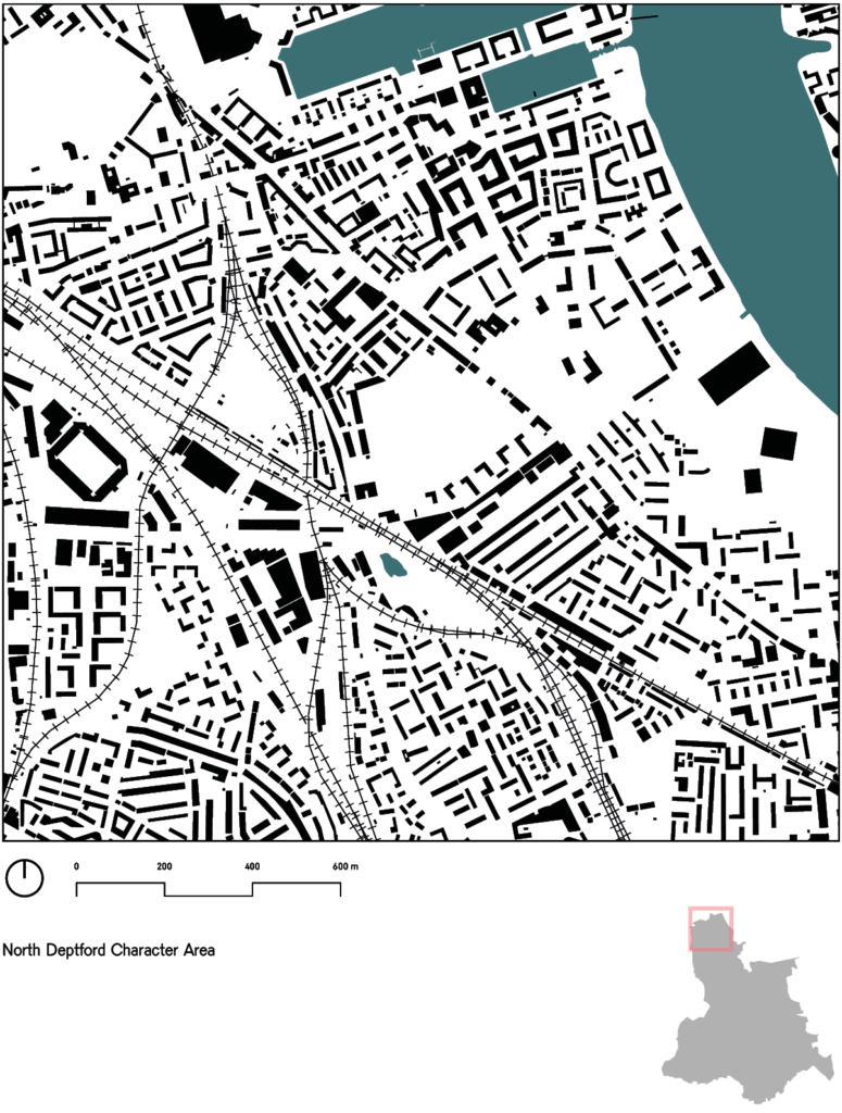
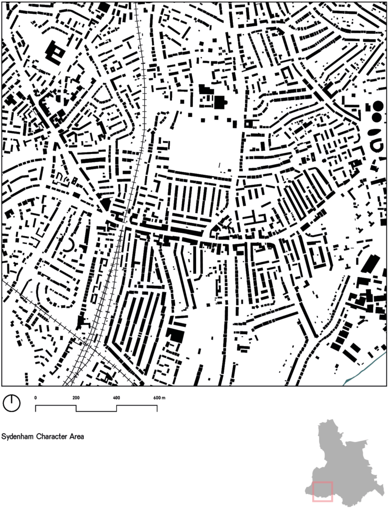
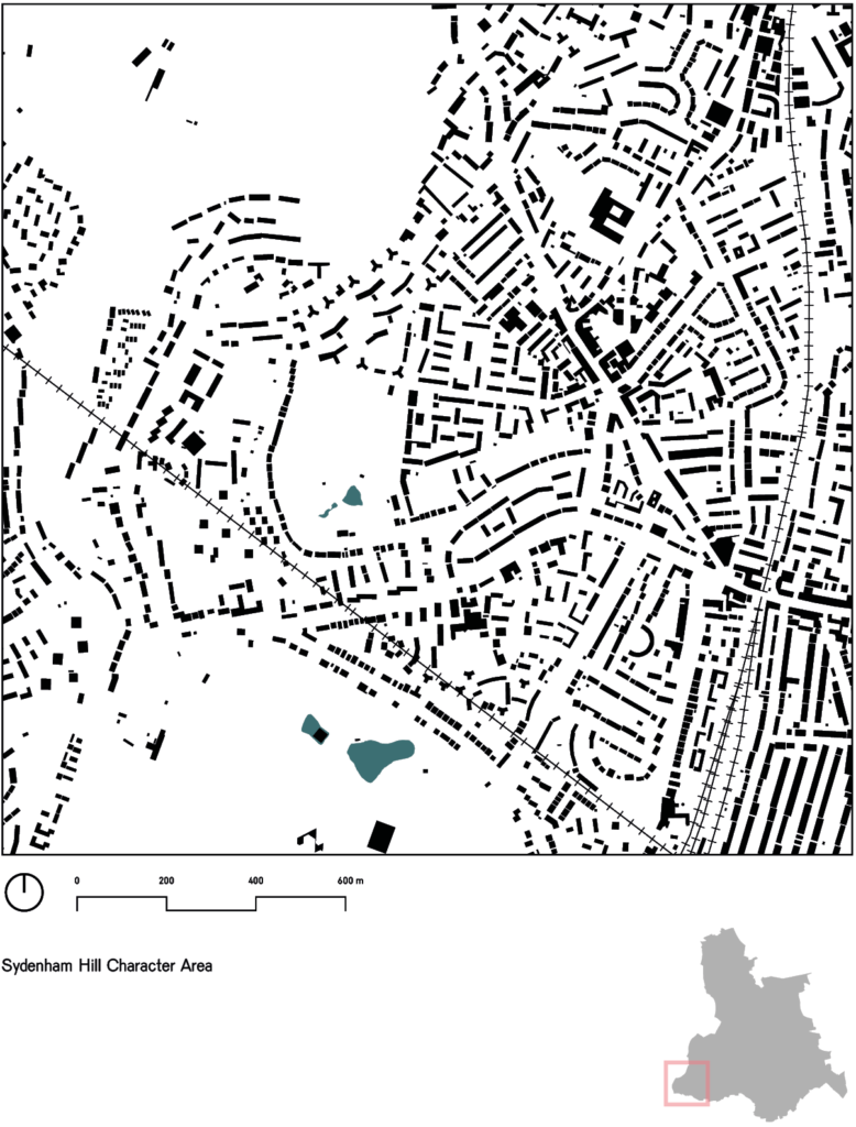
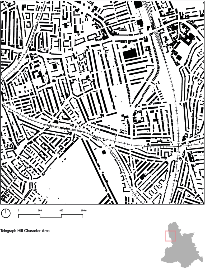
Character area maps
We have prepared maps for each of these character areas, but as there is less data available for these maps, we have focused them on understanding the typological make up of the area. Information is therefore kept to a minimum on them to allow this typological make up to be read more clearly. The maps typically show just the outline of buildings, together with waterways and railways. This is a useful way of understanding the “grain” of development within each character area, so that any consistent patterns of urban form become visible.